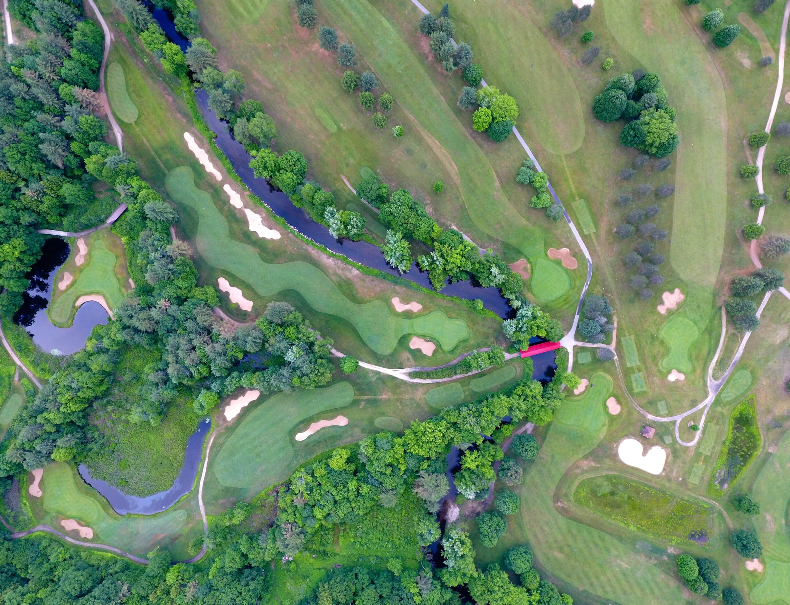
During the time of incidents, data-driven maps that harness GIS technology can act as a true lifesaver. AutoMax Incident Management System is integrated with a geo landmarking feature to track the place of incidents and act effectively. Geo-landmarking and GIS can significantly impact mitigating, responding, and recovering incidents. AutoMax GIS technology effectively improves the workflow […]

 EN
+1 669-231-8743